Riding the Woody Mountain: Exploring Monte Baldo
Are you ready to take on a challenging and scenic cycling route from Torbole to Monte Baldo? Let’s go!
Starting in Torbole, you’ll want to fuel up with a cup of coffee before hitting the road. While there’s no direct way up to Monte Baldo from Torbole, we’ll take a few scenic detours to make the most of the ride.
Our first challenge is a steep section towards Nago, with gradients ranging from 5 to 13%. This will get your legs warmed up for the journey ahead.
Next, we’ll ride along the Strada Statale 240 towards Mori. This road can be busy with cars, so we’ll stick to the bike path for a safer and more enjoyable ride. Along the way, we’ll pass the island of Sant’Andrea on Lago Loppio, which is home to an impressive archeological site.
After reaching Mori, we’ll take a left turn towards Besagno and tackle the first switchbacks of the day. This section will cover about 9 kilometers with gradients around 7%, taking us to the town of Brentonico. Fun fact: every two years, Brentonico hosts a cheese-rolling race!
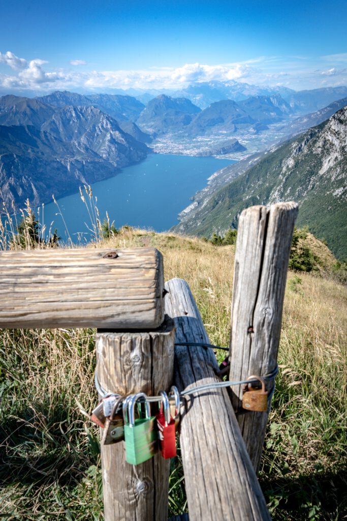
At this point, we’ll have tackled the first 500 meters of elevation and be ready for the next section. This will lead us up about 6 kilometers towards San Giacomo, with gradients ranging from 6 to 10%. San Giacomo is situated at around 1200 meters above sea level, and we’ll be able to see the impressive massif of Monte Baldo to our right.
As we continue upwards, the vegetation will start to thin out a bit, giving us glimpses of the woody mountain that is Monte Baldo. At around kilometer 30, we’ll head towards San Valentino, climbing to around 1300 meters above sea level. The incline will be less steep from here on, but we’ve still got another 4 kilometers to go until we reach the peak of the day’s ride.
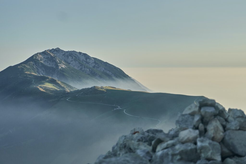
As we near the top, the road will take us through some little tunnels that are carved into the rock. At kilometer 34, we’ll arrive at the Albergo Refugio Graziani, where a gravel trail goes up to Monte Altissimo di Nago. For those looking for a little more adventure, this could be a great add-on to the ride.
A little further down the road, we’ll find Rifugio Bocca di Navene. Here, you can grab a well-deserved coffee and cake at 1425 meters with 1300 meters of elevation in your legs. All in all, this ride can take about 2.5 hours to complete.
Now, it’s time to head back down towards Avio. You can take the bike path along the river Etsch towards Mori or the shorter route via Corné or Saccone. Either way, the suffering for the day is done, and it’s all downhill from here!